
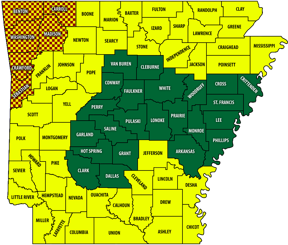
MAP: The latest wildfire risk assessment by county in Arkansas, posted Dec. 31, 2025. The map is subject to change daily. | Arkansas Forestry Division
A map posted Wednesday morning, Dec. 31, to the Arkansas Forestry Division’s website indicates that much of the state is under a Moderate risk of wildfire danger.
Though Clark County remained under a Low risk along with Central Arkansas and central portions of the Delta, all counties bordering Clark to the west and south were among the 50 or so counties under a Moderate risk.
Risk levels are determined by fuel conditions, drought status and long-term weather forecasts, and are categorized by how easily a fire can start and how difficult they are to contain. A Moderate risk means fires can start from accidental causes and, though they may not become serious, caution should be taken.
With the exception of a 10-county area in far northeastern Arkansas, drought conditions for much of the state remain either Abnormally Dry or Moderate Drought. The latest drought monitor map, released Wednesday morning, showed the northern half of Clark County to have Moderate Drought, the second of five rankings for drought intensity, and the southern half of the county to have Abnormally Dry conditions, the first of the five rankings.

The National Weather Service in Little Rock is not forecasting any precipitation for the area over the next several days. The relative humidity at Arkadelphia was between 30-35% during the afternoon hours of Tuesday.
As of Wednesday, only six counties in the northwestern corner of the state were under county judge-issued burn bans.
Discover more from
Subscribe to get the latest posts sent to your email.


