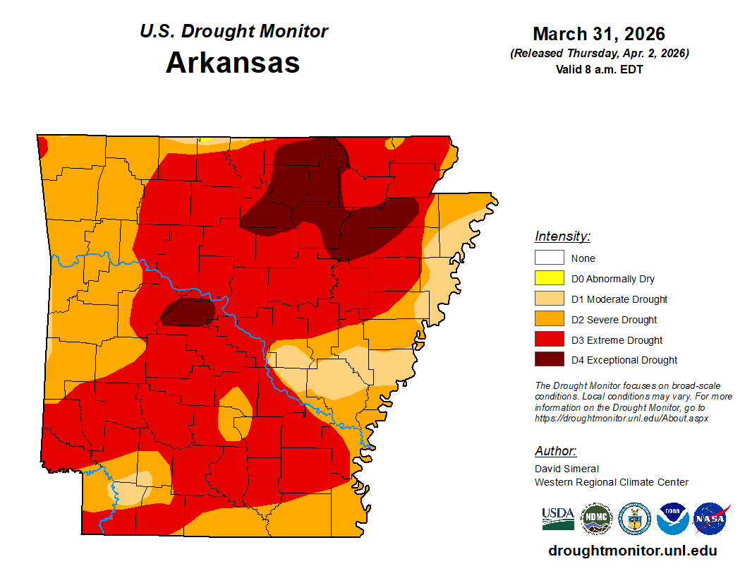
Extreme drought has spread throughout Arkansas.
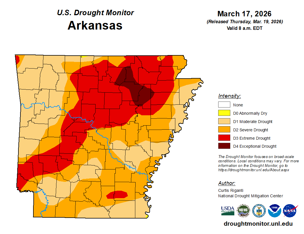
The latest U.S. Drought Monitor map, released Thursday, April 2, indicates that the swath of extreme drought, which had in recent weeks stretched from the southwestern corner to the northeastern corner, has widened to include a number of additional counties.
Prior to the release of the latest conditions, Clark County had been split north-south, with the northern half in extreme drought and the southern half in severe drought.
Under extreme drought, pastures are depleted; hay is short; cattle are sold; there are more insects than normal; trees show drought stress; wildlife seek food and water; there is not enough water to fight fires; water shortages are noted; the water table is low; and stock ponds are dry.
The driest year on record for Arkansas, to date, was 2012. That drought cost Arkansas farmers an estimated $128 million, according to the National Weather Service.
Discover more from
Subscribe to get the latest posts sent to your email.


